VINTAGE
Huge Geography Room Map
Sold
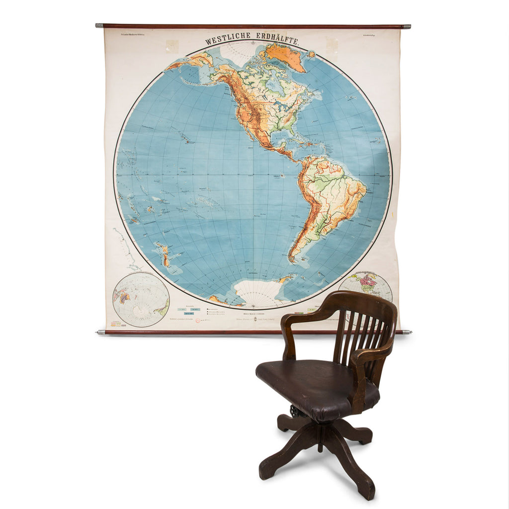
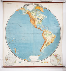
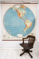
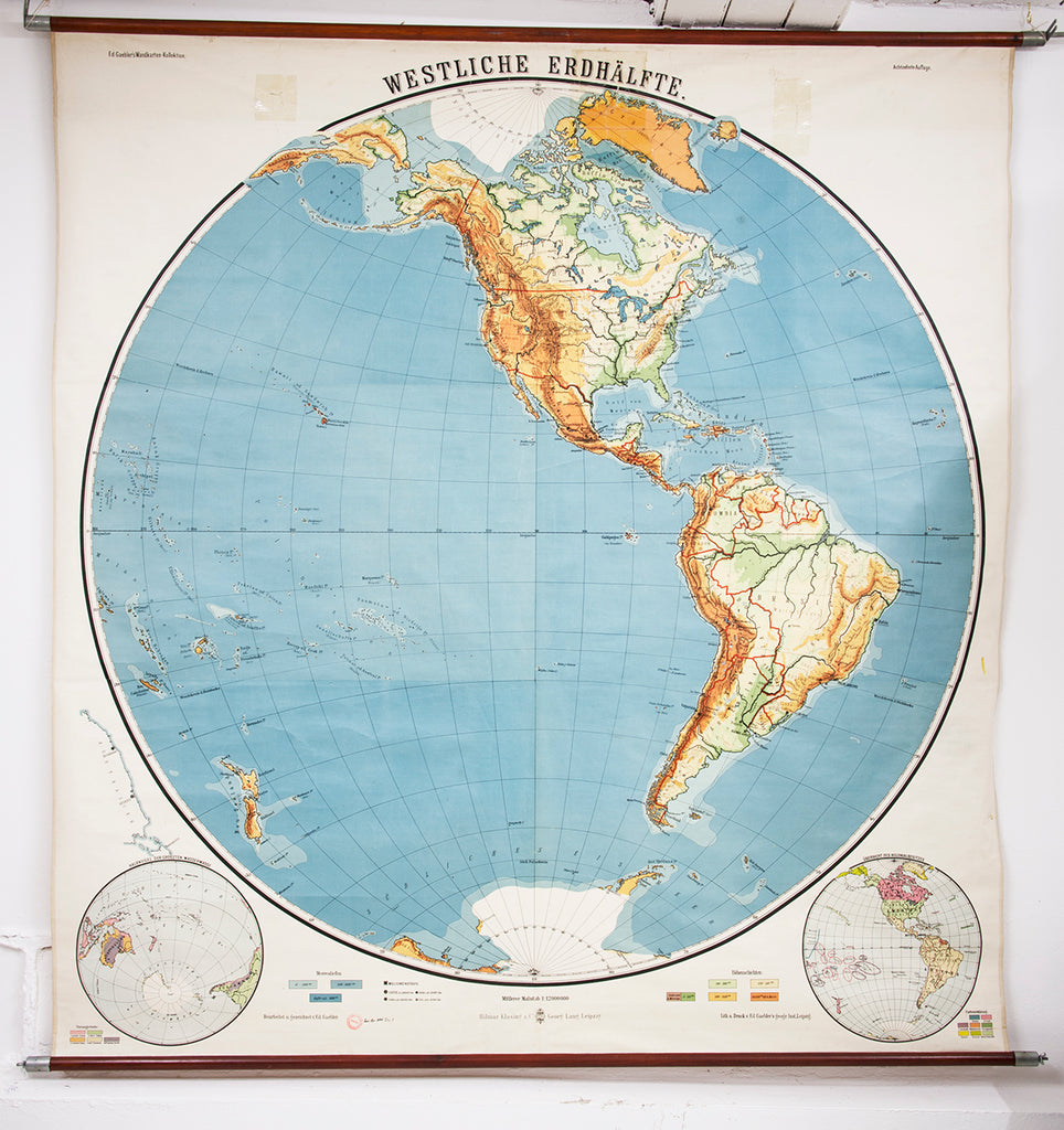
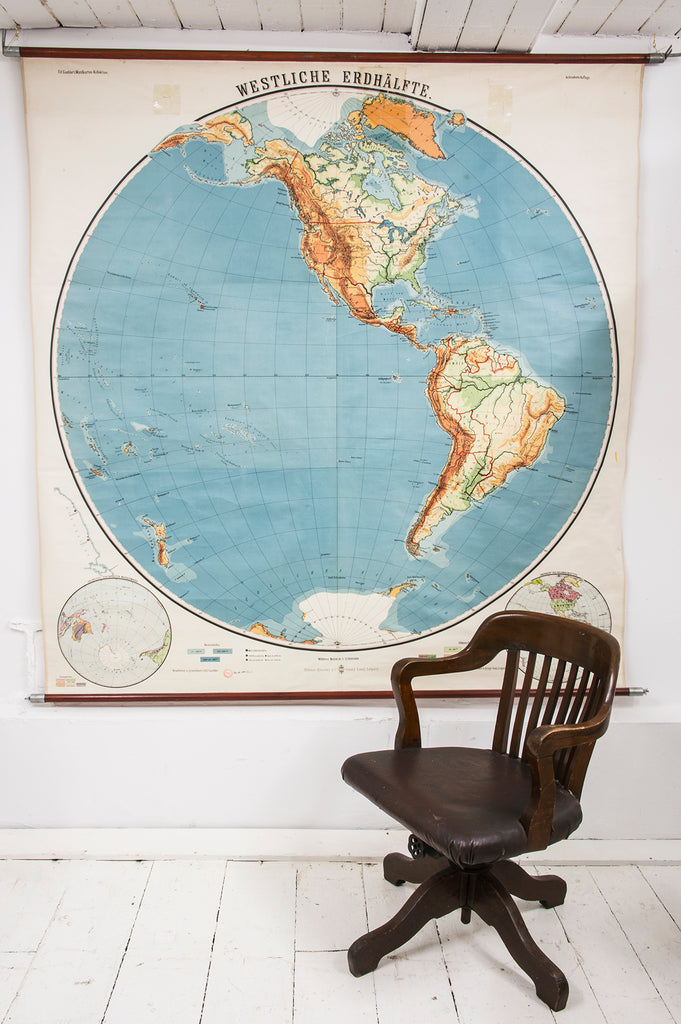
A stunning school room map of the western hemisphere, the Americas, by early twentieth century wall chart makers Hilmer Klasing & Co of Leipzig, Germany. It is one of a geographical series in their Wandkarten collection, and is one of the largest maps they made. Mounted on a pair of wooden poles it is easy to display and would make a dramatic wall hanging - plus it can be handily rolled up for shipping and storage.
Currently on display in our store
Country of origin: Germany
Date: c.1950
Material: cloth-backed paper mounted on two wooden batons
Dimensions: Height 193cm Width 180cm
Condition: very good considering its age and school use. There are some residual clear tape marks to its top section – see image.
_____________________________________
Price does not include delivery.
Delivery/collection must be purchased/organised separate to product purchase.
Please contact us to request a delivery estimate, if required.


